Wilson Rim Ski Trails
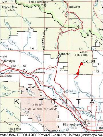
The Wilson Rim ski trails sit at about 5500 ' on Table Mt., just north of Ellensburg. This system of trails had been established and maintained by the Ellensburg X-C Ski Club with the assistance of the US Forest Service. In 2012, the Table Mt. fire burned the area, leaving nothing but charred snags and destroying the ski hut and rider's cabin. Since the fire, there has been little if any effort made to maintain or re-sign the trail system. The Wilson Rim Vicinity Map below shows the location of these trails with respect to Ellensburg and Cle Elum.
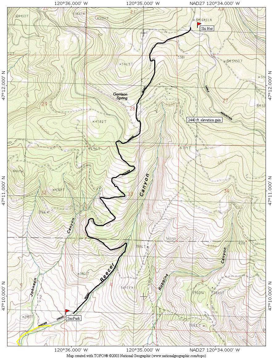
In mid-winter, access to the trails and hut is difficult because the Reecer Cr. Rd. is used as a groomed snowmobile route and is closed to wheeled vehicles as soon as there's enough snow for grooming. The best opportunities to visit the Wilson Rim area is in the fall before the Reecer Cr. road gets snow or in spring, after the snow has melted off and the snowmobiles are gone. Once the switchbacks are bare of snow and the "Road Closed" sign has been taken down by the FS, you can drive up as far as the snow level will allow and then head out on skis.
The following map shows the Reecer Cr. Rd. from the winter snopark to the ski hut. In early spring it is possible to drive this road at least as far as Garrison Springs. It's best to park as soon as the snow on the road get at all deep and start skiing from that point rather than pushing on and risking getting stuck.
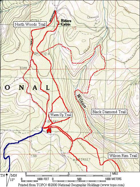
This map shows trails north of the ski hut in red. The blue line marks the Reecer Cr. Rd.
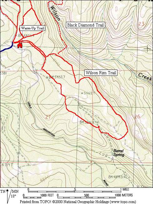
This map shows the Wilson Rim trail loop which runs south from the ski hut.